
CONNECTICUT-
RHODE ISLAND
DeLorme Atlas & Gazetteer
100% Laminated with spiral binding
Note from Bob: The spiral
binding allows the atlas to lay flat or can be folded over. This makes the
atlas easy to use in cramped spaces.
The covers are very thick and durable and each page is laminated.
This makes the atlas waterproof, tearproof, markable, wipeable, and should
last and last and last.
Atlas does not float.
Buy one for yourself, your best friend and your library.
A lasting gift.
100% Laminated with spiral binding
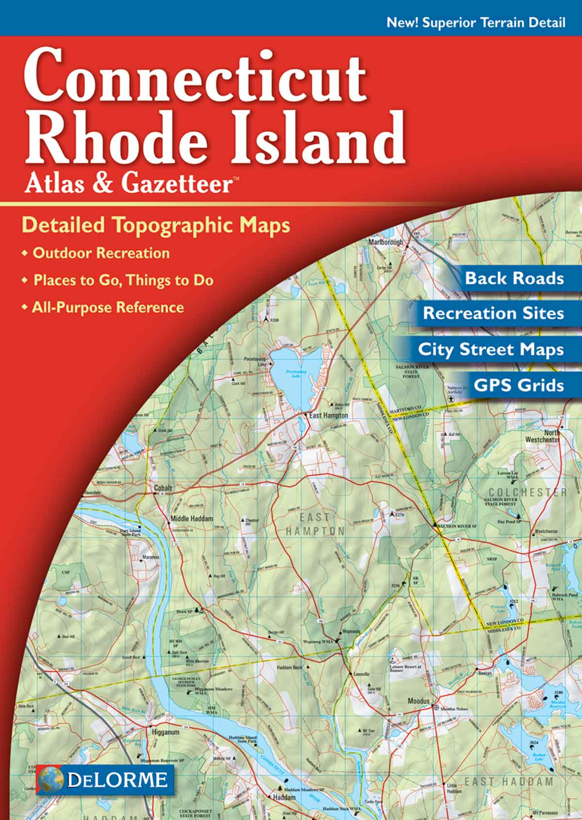
From Newport to New Haven to the New York state line, this atlas covers New England's southern tier with unmatched detail and uncommon touches. Special features include shaded relief, GPS grids, a full Index of Placenames and Map Features (lakes, streams, beaches, points, etc.), and street maps for Bridgeport, Hartford, New Haven and Providence. And, of course, you'll also find DeLorme's trademark back road coverage. The scale for the state maps is 1:65,000 (1 inch to 1.3 miles). A mosaic of the maps would measure approximately 11 feet wide by 6 feet high.
Scale 1:65,000 (1 inch to 1.3 miles).
A mosaic of the maps would measure approximately 9 2/3 feet wide by 6 feet high
SIZE: 11 x 15.5 INCHES.

